Experience Arya Geo Data Harvesting
Superior quality, cost-effective, smart analysis of geophysical, geological and environmental data — powered by cutting-edge UAV technology and AI-enabled computing.
Pioneering UAV Exploration Technology
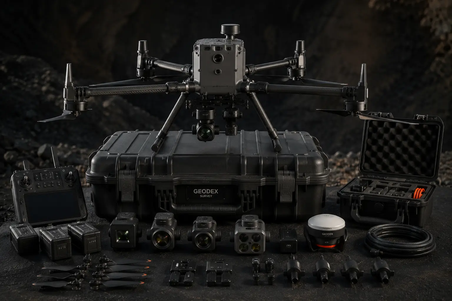
AGDH Inc. is a developer of a cutting-edge, unmanned aerial vehicle (UAV) technology solution for obtaining geophysical, geological and environmental data for oil, gas, and mineral exploration companies.
AGDH's sensor minimization capability and artificial intelligence (AI) / machine learning (ML)-enabled data analysis enables client companies to find massive amounts of data and identify patterns and correlations otherwise undetectable through manual processes.
These technological advancements deliver numerous benefits, including minimizing time taken to obtain seismic data, lowering costs to explore remote areas, reducing the carbon footprint and improving data quality.
Meet the AGDH Team
The co-founders leading Arya Geo Data Harvesting from Oshawa, Ontario — UAV exploration, geophysics, and environmental data.

Mohammad Nazarian
- Grow AGDH’s geological, geophysical, and environmental data library and sales in a capital-efficient way.
- Lead systems, processes, budgets, strategy, and forecasts to meet revenue and profit goals.
- Direct UAV geological, geophysical, and environmental mapping, imaging, and analysis systems.
- Develop and implement growth strategies; lead a high-performance management team.
- Represent AGDH with industry stakeholders, investors, and business partners.

Reza Fahimi
- Shareholder and board member.
- Chief Financial Officer.
- Project Director — secondary role and supportive function.

Elham Davoodi
- Research and identify new technologies and key market differentiators.
- Enhance capability, bidding, and project delivery.
- Promote operational excellence and strengthen project delivery systems.
- Maintain client relationships and recommend the best-fit solutions.
- Support project planning and grow relationships with potential clients.

Shabnam Golyaei
- Oversee day-to-day operations and key business activities.
- Manage client relationships and customer-facing initiatives.
- Lead resource planning, team development, and operational capacity.
- Provide project management oversight for major internal and client projects.
- Prepare business analyses and track operational performance.
Innovative Exploration Solutions
AGDH's co-founders have invented solutions to better serve oil, gas and mineral exploration companies. Cutting-edge, innovative and cost-effective with minimum environmental impact.
Data Collected by Drones
AGDH utilizes drones to maximize its coverage of the exploration site. Delivering a heavy volume of data with 4G, and in the near future 5G, connectivity-to-cloud computing in real time. This eliminates computer hardware from the drone's payload, decreasing weight and enabling longer flight time.
Sensor Miniaturization
Miniaturized sensors enable AGDH to utilize a small drone, loaded with various sensors, that gathers images, geophysical and geochemical data. It is even possible for the drone to take physical samples.
AI-Enabled Computing
AGDH utilizes AI analysis and interprets the patterns and relationships in enormous volumes of data. This creates a highly accurate finding in a small fraction of time compared to human capabilities. Machine learning further enables identification of correlations that otherwise would not be found.
Key Benefits of AGDH Solutions
- Minimizing the need for vegetation clearing or ground disturbance
- Avoiding difficult terrain that adversely affects production rates
- Avoiding surface topography and soil types that decrease data quality
- Optimizing positioning around existing infrastructure
- Improving security of data and equipment
Comprehensive Services Portfolio
From seismic data acquisition to GIS mapping, AGDH delivers end-to-end solutions for exploration and environmental industries.
Geophysics
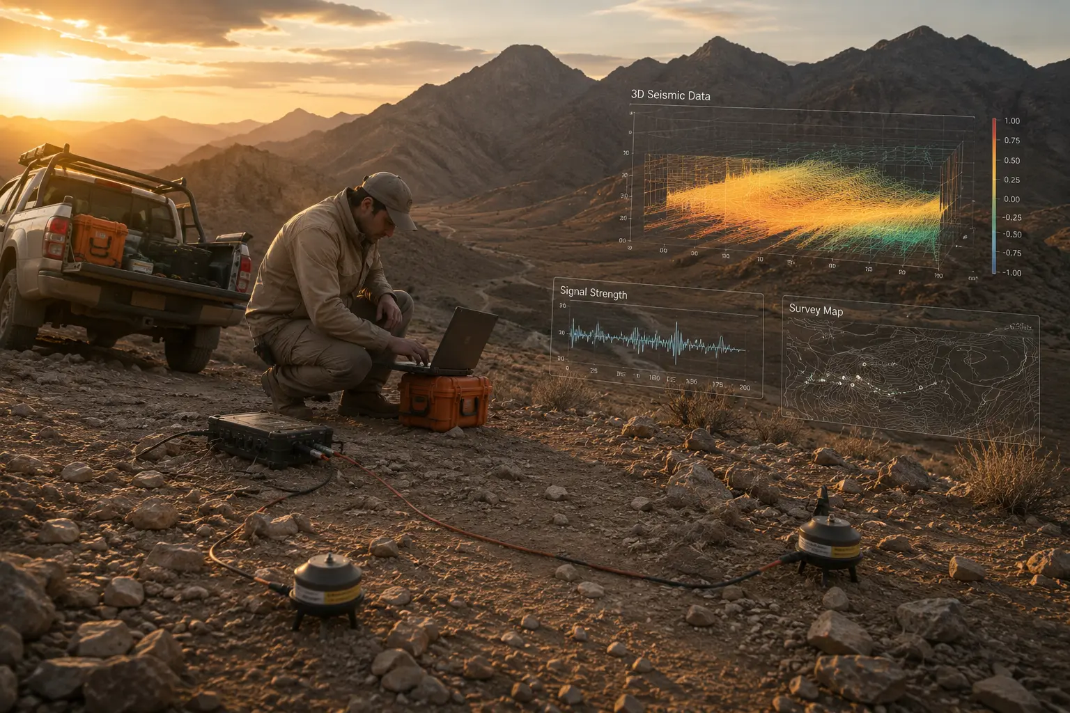
Advanced seismic data acquisition and geophysical analysis for precise subsurface mapping.
Oil & Gas Industry
Comprehensive exploration solutions for oil and gas recovery, thermal recovery, and horizontal drilling.
Mining
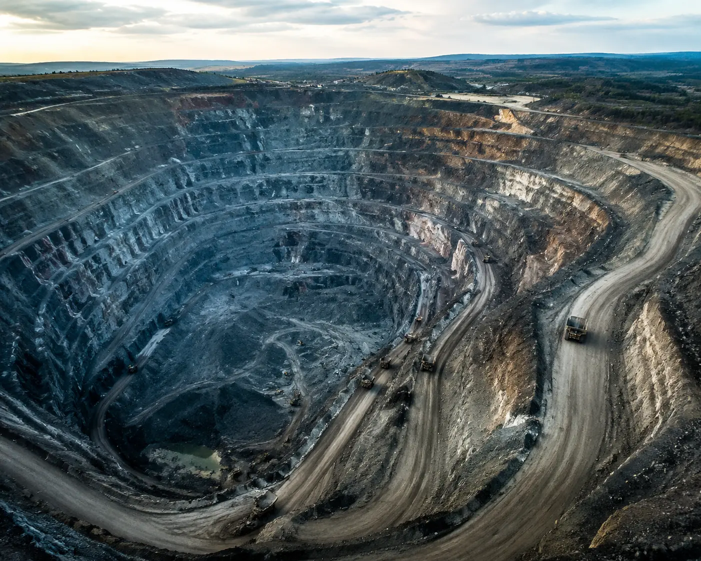
Drones demonstrate exceptional results in mining by enabling greater data collection, enhancing safety and improving productivity.
Agriculture
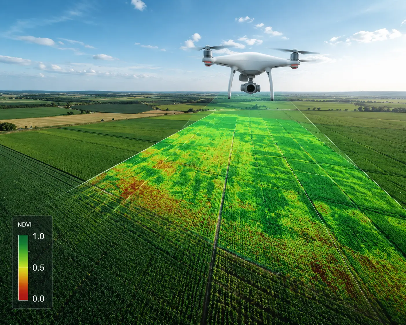
Precision agriculture solutions using UAV imagery and multispectral analysis for crop health monitoring.
Geothermal Resources
Lightweight thermal sensors for high-resolution aerial thermal orthophotos and rapid, safe survey of thermal areas.
Soil Erosion Studies
High-resolution modelling of relief changes caused by run-off using UAV image data and terrestrial laser scanning.
Wetlands & Wildlife
Environmental monitoring and wildlife management using non-invasive UAV survey technology.
Relief & Rescue
Rapid aerial assessment for disaster response and relief operations with real-time data transmission.
Advancements in Seismic Technologies
Innovative applications of seismic technologies for data collection and analysis across industries.
Oil & Gas Recovery
Introducing and relieving reservoir pressures with advanced seismic data analysis for optimal recovery.
Thermal Recovery
Monitoring and optimizing thermal recovery operations using UAV-collected seismic and thermal data.
Horizontal Drilling & Multi-stage Fracturing
Precision guidance and monitoring for horizontal drilling and hydraulic fracturing operations.
Evaluating Secondary Recovery
Assessing and optimizing secondary recovery operations through comprehensive seismic evaluation.
Prevention of Induced Seismicity
Seismic data for prevention of induced seismicity from fracking operations and risk mitigation.
Cost-Effective Per-Acre
Delivering cost-effective exploration solutions on a per-acre basis with UAV technology efficiency.
Where Data Meets Earth & Water Science
Data, maps, models, software, and information graphics are at the heart of nearly every project at AGDH Consulting. Our team of expert data scientists, GIS analysts, software developers, data managers, drafters, and cartographers help our clients and projects teams find insights in the rich data that drives our work.
We're as at home writing code and building applications as we are designing clear and accurate maps. The breadth and depth of our technology expertise means we're able to tackle almost any problem at the intersection of DATA and EARTH + WATER science/engineering.
DATA × EARTH
Interdisciplinary expertise at the intersection of technology and natural sciences.
Latest Articles
Stay informed with the latest research and developments in UAV technology and data harvesting.
Classifications, Applications, and Design Challenges of Drones
A comprehensive review of drone classifications, their diverse applications, and the key design challenges facing UAV development.
Read ArticleA Review of UAV Monitoring in Mining Areas: Current Status and Future Perspectives
Exploring the current state and future potential of UAV-based monitoring systems in mining environments.
Read ArticleAnalysis of Data Harvesting by Unmanned Aerial Vehicles
An in-depth analysis of data collection methodologies and harvesting techniques using UAV platforms.
Read ArticleAutonomous Monitoring, Analysis, and Countering of Air Pollution Using Environmental Drones
Environmental drone applications for air quality monitoring and pollution countermeasures.
Energy Use and Life Cycle Greenhouse Gas Emissions of Drones for Commercial Package Delivery
Environmental impact assessment of drone operations for commercial applications.
Let's Connect
Please email us and a member of our team will be happy to answer any questions you may have about our UAV services, photogrammetry solutions, or exploration technologies.